top of page


Create 3D terrain
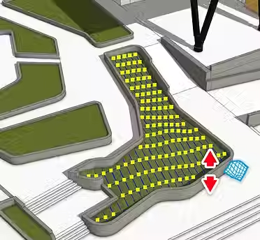
Quickly turn contour lines into surfaces, drape hardscape elements onto uneven ground, and modify existing terrain. Import 2D CAD files, scan data, or terrain imagery.
Don’t start from scratch
Speed up your design workflow with access to over four million pre-built 3D models – from vegetation to vehicles – straight from 3D Warehouse.

Flexible tools at your fingertips
Geo-location
Specify longitude and latitude and pull in terrain imagery directly into your model with a click.
Real-time shadow studies
Our architecture planning software helps you see precisely where shadows will fall at any time of day, on any day of the year, anywhere on earth.
Photorealistic rendering extensions
Use third-party solutions to produce jaw-dropping renderings. Reflections and photoreal textures are only an extension away.
Interoperability
SketchUp's landscape architecture modeling software integrates with a variety of 3D and 2D file formats, so your workflow is never interrupted.
Spark new ideas
Explore real-life projects and find the perfect workflow for your next 3D architecture design.


bottom of page