Discover the solutions for tunnel projects
Our experience, your best work tool.
Our Aplications
EASIER FIELD WORK
Easily perform all types of data capture, survey and stakeout work using GPS/GNSS receivers.
TOPOGRAPHIC PROJECTS
Complete solution in CAD, which allows you to model the terrain of a plot of land to elaborate road or urbanization projects.
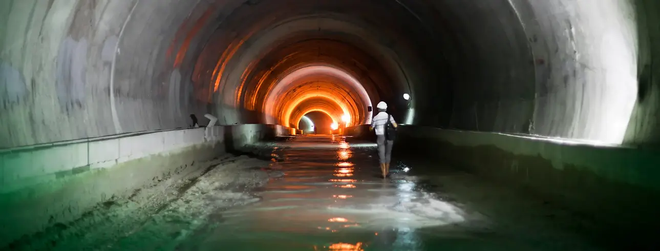
RIGOROUS CONTROL OF TUNNEL WORKS
Execute easily and accurately the construction of tunnels for roads, railroads, subways and mines, with total station or 3D scanner.
POINT CLOUDS
Use point clouds from scanner, LiDAR or photogrammetry, as well as orthophotos, digital elevation models and aerial images in your projects.
Products

.png)